Indonesia taps OceanX for marine-park baselines — and IUCN warns climate is now the dominant threat to nature heritage
July 28, 2026 · By John Ian Lau
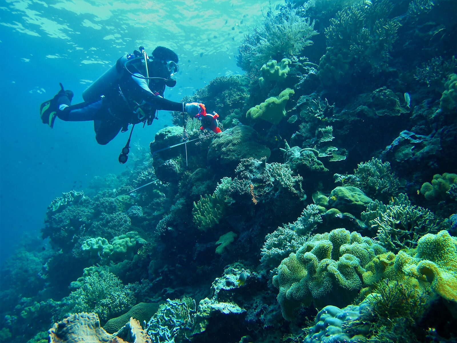
Jakarta — Indonesia is moving to put harder science behind a familiar political promise: protect more ocean, manage it better, and prove it with data.
On July 22, the Ministry of Forestry said it is partnering with OceanX to strengthen management of seven marine national parks — Wakatobi, Thousand Islands, Takabonerate, Cenderawasih Bay, Togean, Karimunjawa, and Bunaken — with a specific focus on expanding baseline datasets, mapping underwater topography, and conducting biodiversity inventories (ANTARA).
Forestry Minister Raja Juli Antoni framed the collaboration as a pivot from ideology to instrumentation. “Marine conservation management must be based on strong scientific data and research,” he said, adding that the ministry is committed to improving the management of marine national parks “including expanding baseline data, mapping underwater topography, and conducting biodiversity inventories” (ANTARA).
OceanX, best known for deploying advanced exploration and media capabilities from its research vessel OceanXplorer, would assist in collecting spatial and biodiversity information across conservation areas, according to the ministry. In the same statement, Vincent Pieribone, OceanX’s CEO and Chief Science Officer, said the organization has completed two research missions in Indonesia and is now focusing on marine biodiversity research in North Sulawesi (ANTARA).
What stands out is the operational detail: the ministry said the data generated will belong to the Indonesian government and be used to support science-based policymaking (ANTARA). If implemented well, that approach helps address a recurring weakness in marine protected areas globally — that “protection” can become a boundary on a map without the monitoring systems needed to measure ecological change or enforce rules.
Baseline data is not glamorous, but it is catalytic. In coral-reef systems, reliable baselines are the difference between observing reef decline and being able to attribute it — to heat stress, poor water quality, destructive fishing, disease, or invasive species. In seagrass meadows and mangroves, mapping and repeat surveys help quantify carbon storage and coastal protection benefits. In pelagic parks, better bathymetry and biodiversity inventories improve habitat models and help prioritize patrol coverage.
That matters in Indonesia, which sits at the heart of the Coral Triangle and hosts some of the planet’s highest marine biodiversity. Yet the country also faces overlapping pressures: coastal development, fishing intensity, pollution, and climate-driven marine heatwaves. A new OceanX-backed measurement push won’t solve those problems on its own — but it can upgrade the decision-making substrate that every other intervention relies on.
The timing also lands amid a broader warning from the conservation community that the threat landscape is shifting faster than institutions. In a speech delivered at the 48th session of the World Heritage Committee, Dindo Campilan, IUCN’s Regional Director for Asia and Hub Director for Oceania, pointed to findings from IUCN’s latest World Heritage Outlook: “climate change is now the most prevalent threat to natural World Heritage, affecting 43% of properties” (IUCN).
That statistic is about UNESCO-listed sites, not marine parks per se, but the signal is the same: conservation is increasingly a race against systemic climate impacts rather than a fight against isolated local threats (IUCN). For marine ecosystems, warming waters can trigger coral bleaching, oxygen loss, shifting species ranges, and higher disease prevalence — often faster than management plans can be updated.
For policymakers, this creates a pragmatic conclusion: conservation capacity has to be treated like core infrastructure. That means investing in ocean mapping, biodiversity surveys, instrumentation, open and interoperable data, and the human teams that can interpret results and translate them into enforceable rules.
OceanVines’ mission is to illuminate the inner sparks of every life we touch through our efforts in ocean conservation and education — and one of the clearest ways to do that is to show how the unglamorous work of measurement enables the visible wins the public cares about: healthier reefs, more resilient fisheries, and safer coastlines.
Indonesia’s move to bring OceanX into national-park management will be judged on execution: whether the data is collected consistently, published transparently where appropriate, and used to close the loop between science and enforcement. But it is the right direction of travel — because in a climate-shaped ocean, governance without evidence is just optimism.
Together, we celebrate The Greatest Good.
#TheGreatestGood #OceanConservation #HumanityMatters #LIT #MarineProtectedAreas #Indonesia