The ocean’s next survey fleet is uncrewed — and built for the gaps ships leave behind
August 22, 2026 · By John Ian Lau
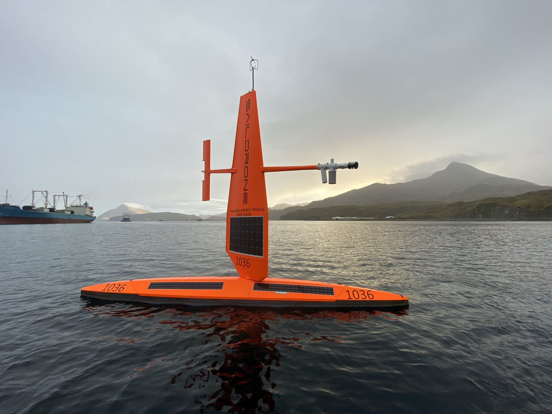
The next generation of ocean surveys will not be defined by the size of the research ship. It will be defined by the gaps a vessel cannot safely or affordably fill. In a new feature published by NOAA Fisheries on August 20, scientists describe how uncrewed surface vehicles are moving beyond hydrographic mapping into ecosystem science, fisheries research and protected-species monitoring.
The operating logic is simple but consequential. A 30-foot autonomous vessel off Nantucket Shoals can run planned transects day and night, measuring currents, temperature, salinity, weather, fish and plankton abundance without scientists aboard. In the Northeast, three missions this year — two operated by Chance Maritime Technologies and one using DriX — extended observation into winter-weather gaps and areas where large ships cannot work continuously.
“Over the last several years, we have been able to expand the applications for how uncrewed surface vehicles can help with various research related to stock, ecosystem, and protected species evaluations and assessments,” Dr. Conor McManus of NOAA’s Northeast Fisheries Science Center said. The important shift is not automation for its own sake. It is the ability to collect high-accuracy, time-sensitive data where research vessels face weather, cost or access constraints.
That matters most where the food web is compressed into a moving target. A Chance MC40 surveyed portions of the Mid-Atlantic Bight and Georges Bank for about 30 days, covering approximately 4,500 kilometres while carrying acoustic echosounders, current profilers, CTD instruments and plankton-imaging equipment. The mission is designed to explain why dense zooplankton patches form — and why endangered North Atlantic right whales return to some feeding hotspots more reliably than others.
NOAA paired the autonomous observations with its long-running Ecosystem Monitoring Survey and coordinated sampling with NOAA Ship Pisces at 14 stations over two days. Nets reveal which species are present through the water column; autonomous sensors can show the depth and surrounding conditions in which those organisms cluster. “Conducting near-real-time comparisons of our traditional net sampling with new plankton imaging and acoustics collections is a valuable opportunity,” Dr. Greg Ellis, an oceanographic research analyst with the science center, said.
The same design principle is appearing in conservation operations. The Nature Conservancy’s Global Ocean Innovation Challenge selected Havoc, a fleet of autonomous surface vessels intended to monitor marine protected areas continuously, alongside solar-powered acoustic stations that use artificial intelligence to detect vessels and marine activity. The pilots are planned for the Savu Sea, a biodiversity hotspot where enforcement is expensive and data gaps weaken management.
“At The Nature Conservancy, we bring together trusted science, deep partnerships and a truly global reach to protect our oceans, and we know that we cannot achieve the transformation needed by incremental measures alone,” Jennifer Morris, TNC’s chief executive officer, said. Her point is an operating brief for the autonomous-ocean market: tools must be deployed with governments, academic institutions, local communities and conservation groups, not dropped into a seascape as isolated hardware.
There is also a practical economics to the approach. NOAA says it awarded Chance Maritime Technologies a $21.6 million contract for up to eight uncrewed marine systems over five years. The 25-foot DriX can sample as close as 65 feet from wind turbines, allowing repeated surveys inside and around offshore-wind lease areas. Over several seasons, those measurements can help separate natural variability from longer-term change while reducing the need to send a large ship into every difficult-to-reach corner.
The test for this technology will be whether data arrives in time to change a decision: a vessel route adjusted, a protected area enforced, a fishery surveyed more intelligently or a whale-feeding habitat understood before it shifts. At OceanVines, we work to illuminate the inner sparks of every life we touch through our efforts in ocean conservation and education. Better tools matter because they give more people a clearer view of the choices the ocean is asking us to make.
Together, we celebrate The Greatest Good